Going Home

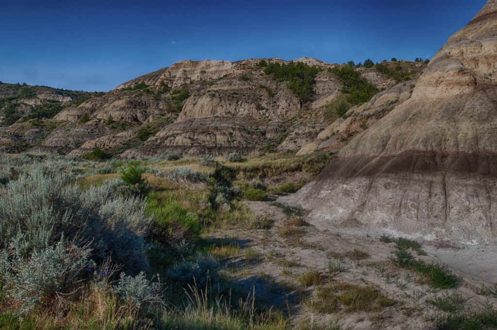
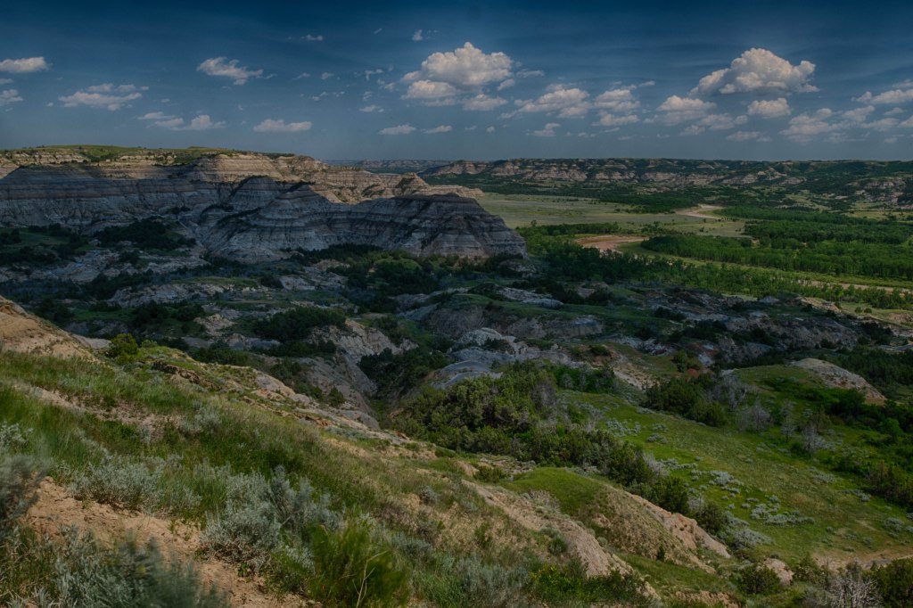
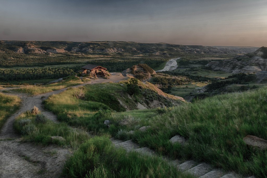
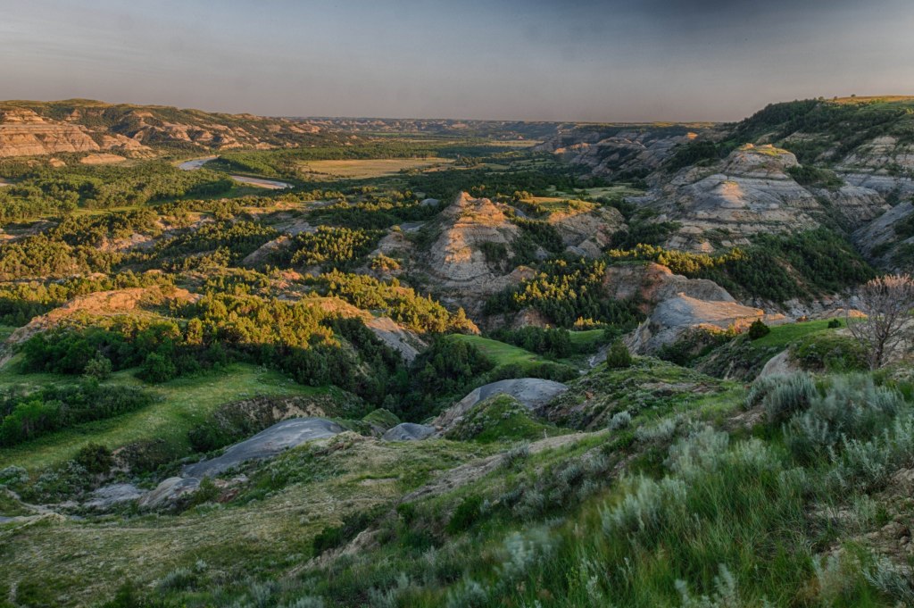
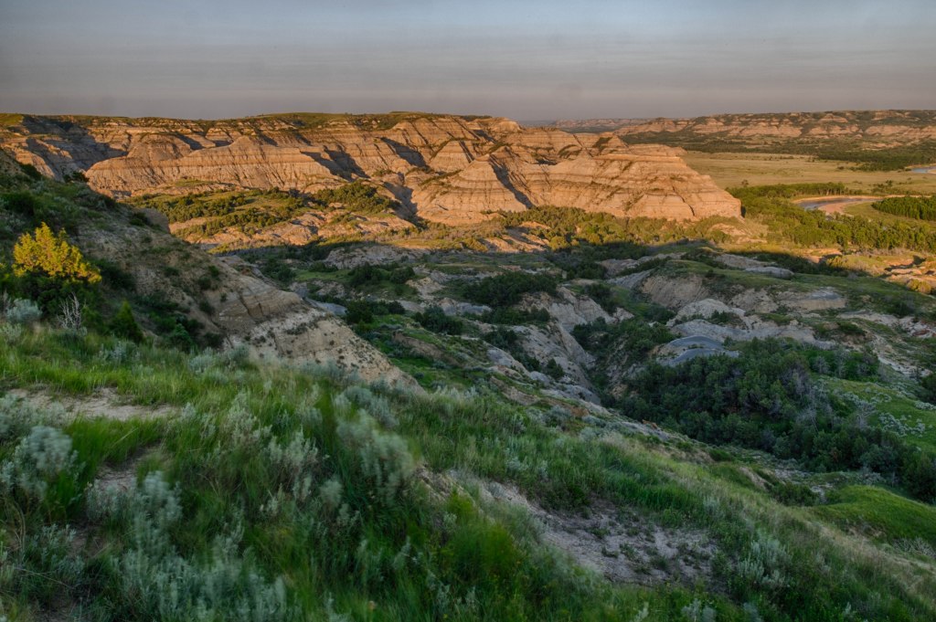
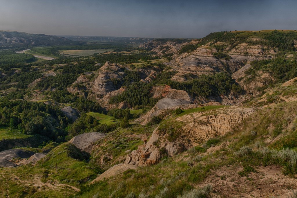
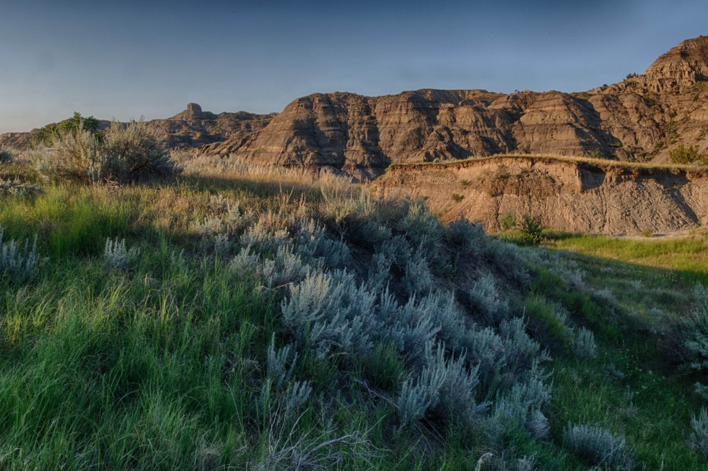
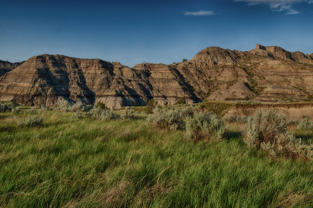
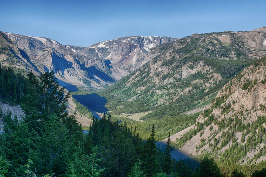
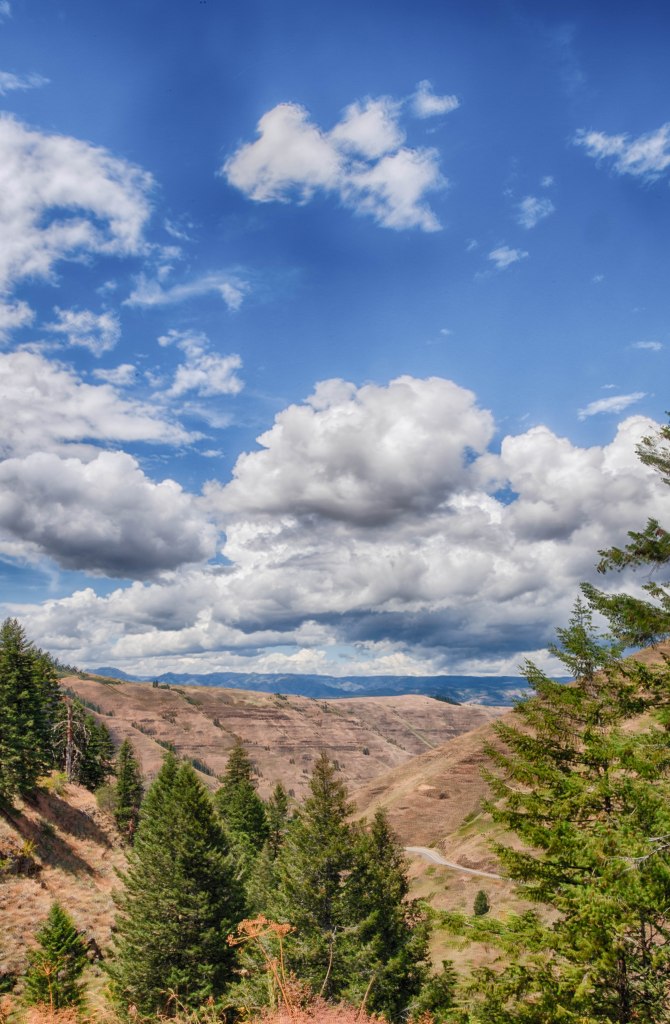
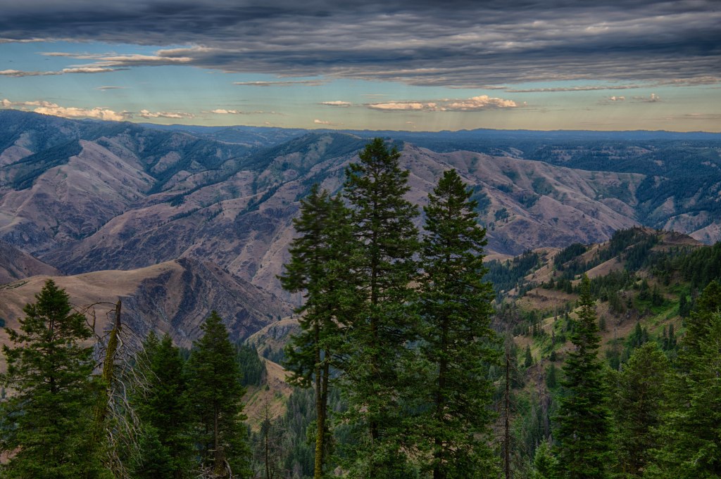
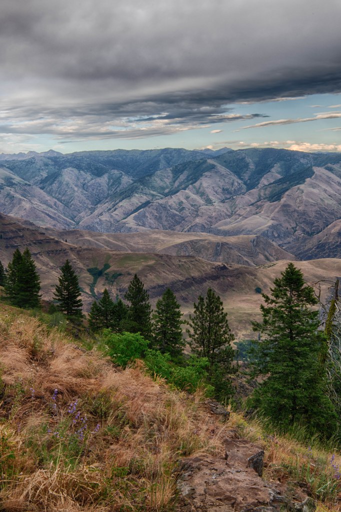
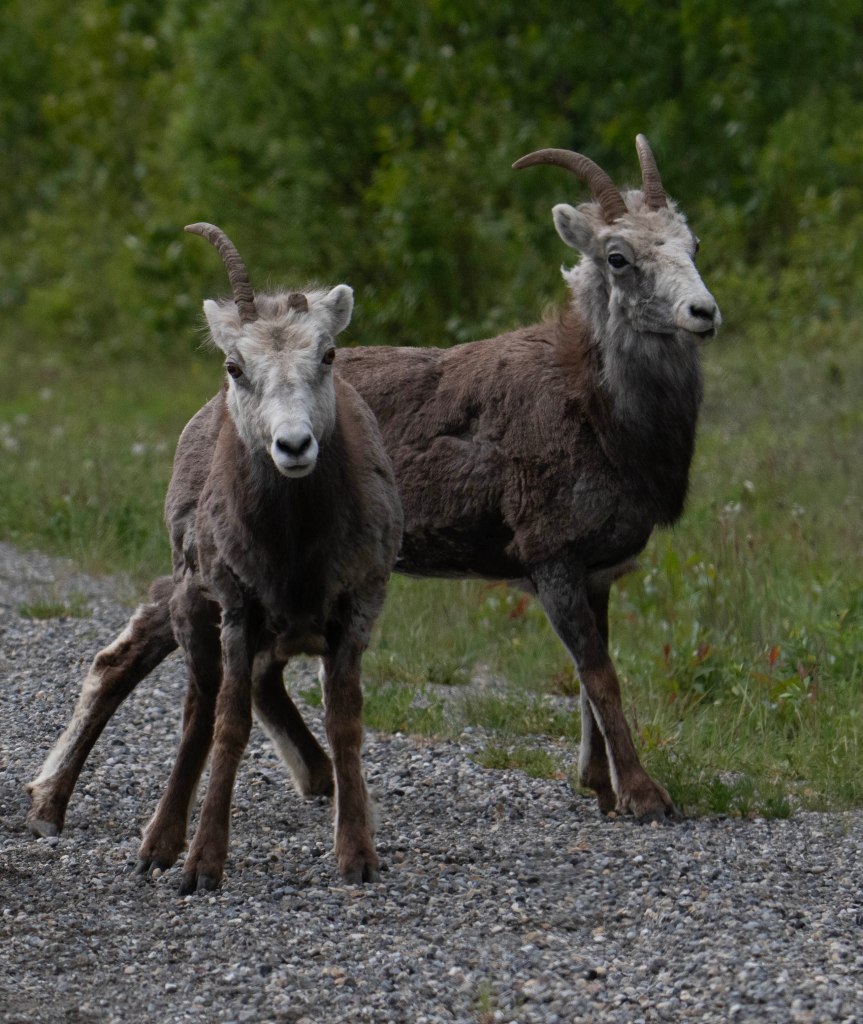
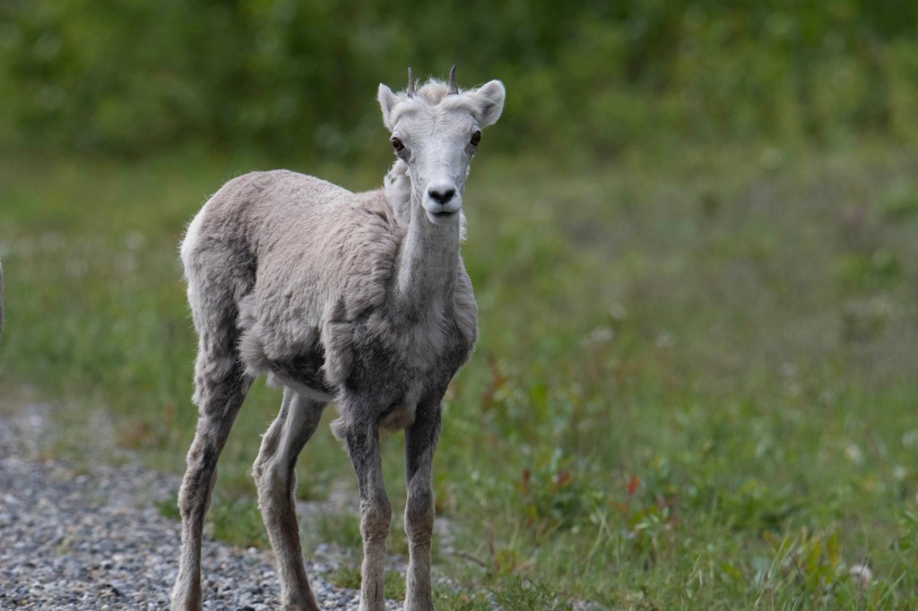
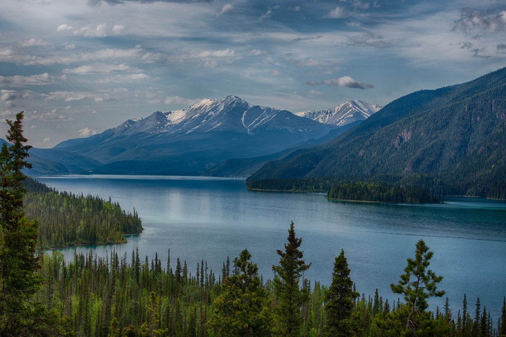
After three days at Teddy Roosevelt National Park we continued eastward through North Dakota and on to Minnesota. Montana may be Big Sky Country but as we moved eastward the land flattened and the distance horizons were seldom blocked by the terrain. We moved from “All I can say is WOW!” which was such a common phrase all the way down from Alaska to Montana and almost everything in between, to subtle and pleasant landscapes. As we moved eastward landscape became more intimate. I’ve often thought of the West as amazing landscapes created with oil or acrylic paints verses the East as landscapes created with watercolors. The landscape slowly changed to greens whereas further west browns were more dominate. That generalization does not apply to western Washington and Oregon or further north into British Columbia, Alaska, and the Yukon.

Once we reached Minnesota, we headed for Lake Superior’s north shore. We explored the area for a few days then headed southwest to Duluth. One day we traveled to Grand Marias not far from the Canadian border. This is a lovely artist/tourist town which was fun to explore. Based on a friend’s recommendation we enjoyed lunch at the Angry Trout right on the harbor. Although the food was very good, the place did not feel funky enough to be in Marsha’s book, Road Food. The next day we explored another area of the north shore coast and stopped for lunch at Betty’s Pies. The place was not near any place, but busy. We waited 40 minutes for a table and were happy we did. It had outstanding food, service, and atmosphere. Afterwards I mentioned to Marsha that Betty’s Pies belongs in her book. She then looked and sure enough it was.

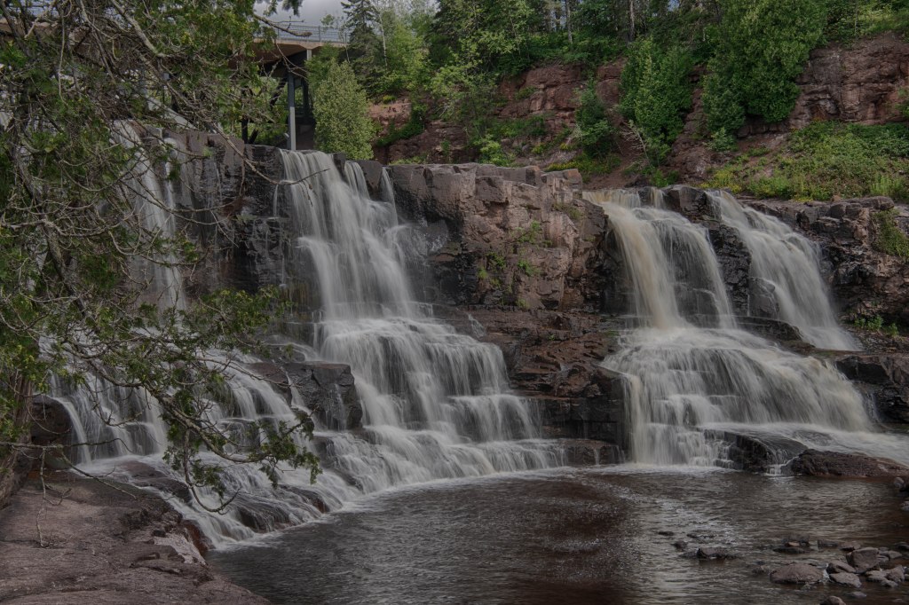
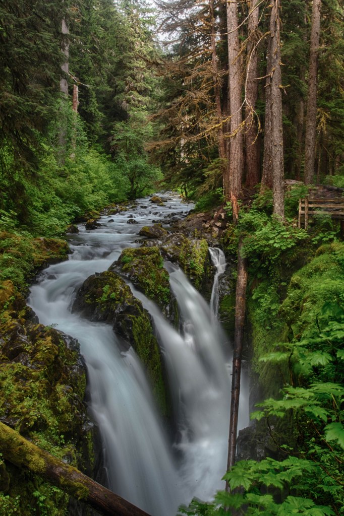
 Gooseberry Falls, North Shore of Lake Superior

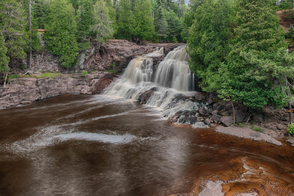
Upper Gooseberry Falls

When we finished exploring the north shore we headed southwest to Duluth where we took a turn to the east crossing Wisconsin onto the Upper Peninsula of Michigan. There Marsha checked her Road Food book only to discover we were headed past another entry in the Road Food book. The place was a gas station where they smoked fish and beef. We walked in and there the check out line had more than a dozen people. We purchased smoked whitefish and beef jerky and continued on our way. The beaches on the north shore of Lake Michigan are amazing with beautiful sand.

Continuing on to the Lower Peninsula we took back roads all the way down the state and crossed into Ohio. Our route took us past Lehmens Amish Store in Kidron, OH the later in the day we stopped in Newell, West Virginia to check out the Feastaware Store.

That night we stayed at a Core of Engineers campsite in Pennsylvania. It was our last unplanned campground of our trip. The following five nights had us at Allegheny State Park in New York State for one night. The next two nights we stayed at Letchworth State Park then we wore on to two nights in a cousin’s driveway where we attended a family reunion then returned home on Sunday July 28.

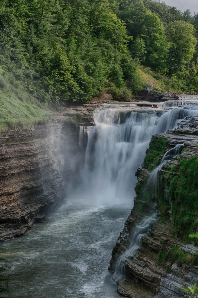
Upper Falls, Letchworth State Park

It was a great trip! Thank you for reading along with our trip. Now to plan our next adventure…

Teddy Roosevelt National Park

Our next destination, Teddy Roosevelt National Park consists of Three separate areas called Units. The South Unit is just off Interstate 94 and is the most visited. It’s here where the wild horses or as the National Park now references the feral horses reside. The Park announced this past year that they would be removing the feral horses from the Park. Public out cry was so great the reversed from that statement and are reevaluating how to manage the horses. More on that further down in today’s entry.

The Elkhorn Ranch Unit is the site of Teddy Roosevelt’s ranch which he had prior to becoming President. It’s the least accessible and receives the fewest visitors. The third area, the North Unit, is roughly 80 miles north of the South Unit, and although is very accessible being off the beaten trail is never crowded. We stayed at the campground in the North Unit and there were plenty of empty campsites. The campground host told me they had not filled up even once this year.

Buffalo or Bison are found in both the North and South Units while horses only in the South Unit.

While exploring the North Unit we came across a Steer which seemed strange so we reported it to a Ranger. He told us they had 6 Steer in the North Unit to uphold “tradition” since the area was once used for cattle ranching. I found this to be a bit strange since in the South Unit they wanted to remove all horses since they were not native to the land. In addition to the horses the South Unit has roughly 500 Bison. The North Unit has roughly 250 Bison.

North Unit

North Unit

North Unit

North Unit

North Unit

South Unit

We stayed in the Park for three nights and explored both the North and South Units. On our foray to the South Unit we visited the Enchanted Highway where a metal sculpturer created several large sculptures spaced out every 5 to 10 miles apart along a desolate highway. These works of art tower overhead to around 59 feet.

Enchanted Highway

Eastern Montana Badlands

Our next destination after Red Lodge was Teddy Roosevelt National Park in North Dakota. As we drove through Montana, our fourth largest state behind, Alaska, Texas, and California, we watched as the mountains became fewer, the land drier and flatter. Except where irrigation greened the landscape the colors were duller. It took a couple of days to reach North Dakota. One place we stayed along the way was a Montana State Park that had close to 20,000 acres of Montana Badlands

Montana Badlands

Montana Badlands

Montana Badlands

Montana Badlands

The Beartooth Highway

Unlike our normal travels we planned ahead and secured reservations at a campground just outside of Red Lodge, Montana for Sunday and Monday nights. The road from Red Lodge to the Northeast Entrance to Yellowstone National Park is one of the most scenic drives in the United States. Red Lodge to Yellowstone is roughly 68 miles and the road climbs from about 6,000 feet in elevation to just a few feet short of 11,000 feet. It includes switchbacks, drop offs, hairpin turns and many places to stop along the way to enjoy it all. Marsha had never seen this road before while I had travelled it once in the past. Our goal was to get to Red Lodge on a Sunday and do the drive plus some of Yellowstone NP on Monday.

Our drive to Red Lodge was uneventful other than climbing in elevation and reaching more comfortable temperatures. Montana in general has been having high temperatures much like the rest of the US. The saving grace is with elevation comes cooler temperatures.

Our campground, a couple of miles out of Red Lodge, was a bit unusual. If you are not an RV’er let me say a few things about what type of campground works. Travelers with big rigs, the large motorhomes, fifth wheels, and large trailers look for open space in a campground where trees, tree limbs, and tight turns are unwanted. These rigs do just fine in a large open space. Smaller trailers and vans often look for shade and a bit of privacy. Shade works for cooling, but does present issues for those who wish to set up solar panels. In the last couple of years more and more Starlink dishes can be seen. They need a view of the sky.

We pulled into the campground only to find a large parking lot type of set up. It least instead of pavement there was plenty of grass. We check in at the office and discover our site was down close to the river hidden among the trees. It was a great site. It’s unusual for a campground to have setups of variety of rigs.

The following morning we were up and on the road early to do the river over the Beartooth Highway. We climbed from about 6,000 feet to 10,947 at the top of the highway. The views were in the category of “All we can say is WOW!” Charles Kuralt, former travel and news correspondent for CBS Sixty Minutes called this road the most beautiful highway in America. From my view it may or may not be the most beautiful, but it ranks way up on the list.

Near the top we spotted a few Mountain Goats then like the way up the switch backs started on the way down. The road ends at the Northeast entrance to Yellowstone National Park. We continued into the Park only to exit at the north entrance. As we drove down the road the down 5 miles to Gardener. I recalled back in the 1980s bicycling down this steep hill then back up to the Park only to cross over the state line from WY to MT since I had never bicycled in Montana before. I wanted to notch another state. It was a workout cycling up the hill on a fully loaded touring bike. I hadn’t thought it out very well since bicycle route had us entering the Park from the south in WY after exploring Teton NP and doing a large loop exiting in West Yellowstone. Well, West Yellowstone is in MONTANA!

We grabbed lunch in Gardener then headed back up to the Park were we continued to do a loop the eventually returned us to the Northeast Entrance were we drove back over the Beartooth Highway to our campground. It was a long and exciting time.

Marmont

Mountain Goats

So today is the 4th of July and we want to get a good night’s sleep and be far from any fireworks. It’s Thursday and we only have a couple of days of driving to arrive at Red Lodge on Sunday. We stop early in the afternoon at a National Forest Service campground and relax for the afternoon and evening.  Only one other campsite was occupied. It was a very quiet night.

The next day we drove to Three Forks, Montana and grabbed a Montana State Park, Missouri Headwaters SP.  We stayed two nights and found plenty to do. Time to mention a book, “Road Food.” Marsha brings it with us on all our RV adventures. The book talks about unusual out of the way eateries in all 50 states.  There’s a place, Willow Grove Café, in the book about 8 miles out of Three Forks where reservations were highly recommended. It was in a hamlet where there were no other businesses and had maybe 200 residents. We called and got a reservation for 5 PM. I know, not a high demand time, but heck we often hit the hay early while on the road. We arrived and the place was empty other than the staff and us. Hmmm, did it change ownership or something else change about it? We had no clue. Of course, we showed the book to the waitstaff who showed it to the chef. Turns out the owner knew about being in the book, but never told anybody who worked there. The chef was very happy to see the entry. According to the book ribs are the thing to order. Marsha orders a half rack then the server announced that was the last of the ribs. Well, we’re in Montana, so I ordered a ribeye. It came with a side of corn chowder. The chowder was the best I have ever had and the steak ranked up there pretty high as well. Marsha loved her ribs. It was an outstanding meal. A few additional things to mention. Not long after we ordered the entire place filled up with customers. Reservations were absolutely necessary. The other thing is when presented with the check we were informed that Marsha’s ribs were on the house so it was only my meal we paid for. We made sure to leave a very good tip to cover the outstanding food, service, and ambiance.

Three Forks is at the confluence of the Madison and Jefferson Rivers forming the Missouri Headwaters. We explored the area first on bicycles then in the afternoon by truck. There is a series of bike paths in the area and along one we came upon a large horse pasture next to the bike trail. On each post for a few hundred yards were elaborate and decorative bird houses. Each with a different theme. At the entrance to the farm at the driveway opening there were flowers with a bicycle theme. Along with all that at one point there was a small grove of trees and shade on the farm property that had a bench and landscaping. It was an invitation to sit and rest for a moment. All in all it was the most welcoming bike path / private property integration I’ve ever seen.

A Warm Welcome along the Bike Trail

That afternoon we explored more state park land along the Madison River. Along a 20 mile gravel road we observed Osprey, Turkey Vultures, Western Meadowlarks, Ferruginous Hawks, and Peregrine Falcons. It was a good birding day.

Ferruginous Hawk

Peregrine Falcon

Osprey

Turkey Vulture

A final note about the area. I found two beautiful old barns that I photographed.

Outside Willow Grove Montana

Near Buffalo Jump State Park near Three Forks, Montana

Idaho

With tasks completed we headed out the next morning heading eastward along Rt. 12 towards Missoula, Montana where we stopped to purchase a paper road map. Road maps are less common then they were in years past. At one point every gas station sold them. Road maps give the big picture which helps with our planning of a route. Along with the paper map we use both a Garmin GPS and Goggle Maps. Each of the three have advantages and the combination works for us.

Leaving Missoula, we continued eastward along US 200 avoiding many of the larger town in the State. Our goal was a National Forest Service campground five miles past Lincoln. We wanted a place to hunker down away from the 4th of July festivities, with today being July 3. We arrived around 3:30 only to discover the last campsite had just been occupied. C’est la vie. We retraced our path back to Lincoln and got a campsite at the town park.

Now for me I’ve never enjoyed fireworks. We figured since it’s only July 3 we were okay, yet once it started getting dark the firecrackers and other fireworks started and did not let up until 11 PM. Oh well, it simply reenforced that tomorrow needed to be a short travel day where we can grab a site before it fills.

Eastern Oregon and Washington

After breaking camp, we continued on a very mountainous road for another 40 miles until we reached Joseph. The town was named after the Nez Perce Chief Joseph who led his people on a long journey while being pursued by the US Calvery. Perhaps his best know quote was, “I will fight no more, forever.” He led his people many miles almost crossing into Alberta from Montana. They were forty miles from safety before being caught.

In Joseph we located a nice bakery/breakfast café and enjoyed an early lunch. We loved the look and feel of the town. It was not overwhelmed by tourists as we were accustomed to along the ocean coast.

After Joseph and Enterprise we headed north along Route 3, a road I bicycled on a cross country bicycle trip in 1975. Since then Marsha and I have driven the same road once. It’s a great road and much of it is etched into my memory. The road stretches from Enterprise, Oregon in the south and Clarkston, Washington in the north. The road is maybe 80 miles in length and on a map there is a squiggle in the middle. I noticed this back in 1975. It appeared that the printed map had a misprint. Well, that misprint, aka squiggle, was not a misprint. It was Rattlesnake Grade. The road crosses through a canyon offshoot of Hells Canyon. Hells Canyon, with the Snake River at the bottom, is deeper than the Grand Canyon. It is the deepest canyon in North America and over 6,000 feet deep. Rattlesnake Grade is not that deep, but it is deep. Those squiggles, are 10 miles of switchbacks down the canyon wall and another 10 miles of them back up. Until you start down from either the north or south the canyon is not visible. Then the earth drops away.

Back in 1975 I zipped down the switchbacks on a very hot afternoon. The breeze was amazing. I camped along the river below then come morning when it was considerably cooler I biked up. It was the perfect way to do Rattlesnake Grade. Oh yeah, one more thing, I was in great shape back then!

Today being Sunday, our goal was to get to the Lewiston, ID / Clarkston, WA area and find a place to camp for the night. Then on Monday run errands and get the tire repaired.

We located a former Corp of Engineers (COE) government campground about 8 miles outside of town on an island in the Snake River. In some ways the campground was fantastic. On the water in a very park like setting. It even had showers! As we drove in the sign said is was a COE so I thought what a break. Our National Parks Senior Pass gets us a campsite for half price. I asked at the gate and they explained the COE leased the campground to a private group so they don’t honor the Interagency Senior Pass. Oh, well. We asked about hook ups and were told sites with electric and water were $40 and the sites with electric, water, and sewer were $44. We took one with sewer since we knew they had a RV dumpsite. We could dump on the way out. Turns out the place charges every use of the dumpsite whether you are a camper there or not. Charge was not outrageous at $5, but it rubbed me the wrong way. We have never before been charged for using a dumpsite provided we were staying there. I felt it was sleezy. Typically, if one is not staying at the campground there is a charge or $5 to $10. One place in Alaska wanted $30 to use the dumpsite if not staying there or $40 to camp there and use the dumpsite for free. We passed on both options.

We secured the campsite for two nights, Sunday and Monday. Monday had us find a tire place and they assessed what needed to be done. We needed a new tire and they could have the right one by 3 in the afternoon. Next we did laundry and purchased more food since we expect to be away from towns over the next few days. In the afternoon we got the tire work completed and all was good. Back to the campground for Cribbage and relaxing before we leave in the morning.

Rattlesnake Grade

Rattlesnake Grade

Rattlesnake Grade

Rattlesnake Grade

Down the Coast and Inland

We packed up from South Beach Campground and started our travels down the coast along Highway 101. I had bicycled Highway 101 and Highway 1 (The Pacific Coast Highway) back in 1977 and was looking forward to driving it. Over the years I’ve driven various sections of the PCH but had not been able to revisit the Washington/Oregon sections until now. What caught me by surprise was how much larger and more tourist oriented they are now. Additionally, this being the end of June how much busier the roads were. After a bit more than a full day we decided to leave the coast and head inland. We started out heading eastward near Newport, Oregon on US 20. The same US 20 that passes within 20 miles of our home. The high traffic and crowds continued until we were east of the mountains and things took on a more relaxed feel. We camped in a small and delightful Forest Service Campground for the night.

The next day our goal was to visit a Department of the Interior Oregon Trail Interpretive Center outside of Baker City, Oregon. It’s informative and well done with dioramas, signage, and video. It was a good stop.

We headed east with our goal to find a camp spot near Hells Canyon on the Oregon Idaho border. We got word on a Forest Service Road that is in good shape and paved heading north on the Oregon side of Hells Canyon. Just before the road turned off we got a flat on the truck in a little traveled, but bad place to get a flat. This was our first flat of the trip and the first with the new truck. First thing was to read the manual on how to change the truck tire. The truck did not come with a hardcopy manual so I am sitting in the truck reading the online manual the is supplied with the truck. After about an hour and a half we got the tire changed. Our next goal is a campsite and we locate a great stop at the Hells Canyon Overlook. We are boondocking here for the night.

Hoh Rain Forest

Hoh Rainforest

Hoh Rainforest

Ruby Beach

Ruby Beach

Painted Hills – Eastern Oregon

Painted Hills

Hells Canyon

Hells Canyon Overlook

The Olympic Peninsula and Olympic National Park

We boondocked on the street in front of Gentle House for two nights. Kristen served as a great tour guide both by giving a rundown of where to eat in the area, where to explore in and out of Olympic National Park and joined us on a couple outings. She led us on a tidal pool expedition and joined us at a sweet eatery. While in Port Angeles we explored a waterfall walk, a rainforest, and a drive high in the Park. The weather was socked in with clouds and drizzle so I wanted to drive up to Hurricane Ridge to photograph misty scenes. To my surprise at the top of the road we drove above the clouds so I ended up with misty and clear shots. I’ll include them here.

After our two days at Gentle House we traveled along the Olympic Peninsula toward the Pacific Ocean. We secured a site at a National Park Campground, South Beach. It’s one of the few non-reservable first come first use campgrounds in Olympic National Park. While there we explored two locations, Hoh Rainforest and Quinault Rainforest. Hoh Rainforest was very crowded and they meter entry into that section of the Park, but we arrived aearly enough not to have to wait. It was a great place to explore, but I guess it was so crowded due to the Twilight series that was filmed there.

Sol Duc Falls, Olympic National Park

Hurricane Ridge

South to Washington State

Traveling south on the Alcan various wildlife including deer with fawns, black bear, wood bison, snowshoe hare and stone sheep were seen. Although the road had been closed for a couple weeks due to a major forest fire near Fort Nelson we saw little to no smoke. Evidence of the fire with one smoldering part was along the highway just north of the town. The damage to both the forest and many buildings was obvious. The fire was halted only a mile or so north of the town. If it had not been halted there, much of the town would not have survived.

The Culture Visitor Center in Fort Nelson had maybe the nicest RV sanitary dump station I have ever seen. If you are not an RV’er it’s not important, yet to those that are take note. Potable water is available there as well.

We continued south and camped at the same campground we stayed at a year ago, Buckinghorse River Wayside Campsite where we met a new friend that we still stay in touch with, Sebastian. Last year he was desperately trying to get his Starlink to work to watch an important Football (Soccer) game. He had no luck since the trees blocked his antenna from receiving signal. We went deeper into the campground and camped at a spot were his Starlink would have worked. However, if he had found this location a year ago, we would not have met him. The twists and turns of life.

The next couple of days we continue south through British Columbia with the goal of visiting an old friend living just north of Seattle. The border crossing in Washington was uneventful other than having to surrender a whole package of chicken thighs. They would have been okay if they were cooked, but they were not. Bird flu prevention was the reason chicken thighs were not allowed into the country.

We found a “resort” RV park 20 miles north of Seattle where we stayed two nights. That way we could leave the trailer and drive to Lydia and Bob’s place. Their driveway is almost impossible to navigate in our truck and our trailer would never fit. Lydia was Marsha’s Maid of Honor more than forty years ago and we don’t get to see them often at all. On a side note Lydia was with Marsha when I first met her.

The next day was Sunday which was great for me. It was the day to drive through Seattle with the trailer dealing with all the traffic. It was not terrible, but certainly not a fun road trip. It was a relatively short trip to the Olympia area where we met up with another old friend from the Albany, NY area. Angelina, formally aka Sharon, move out west 30 plus years ago. Great to see her. We also squeezed in our second oil change of the trip.

Out of the blue I received an email asking if we were passing through Port Angeles on the northern end of the Olympic Peninsula. It was from a Facebook friend, Kirsten, who I thought was still living in Charlottesville, VA. Turns out she is in Port Angeles now helping to get “Gentle House” fully operational. There is more information on this beautiful gift by a poet in support of poets. https://tupelogentlehouse.org/the-gift/

Stone Sheep

Stone Sheep Kid

Muncho Lake